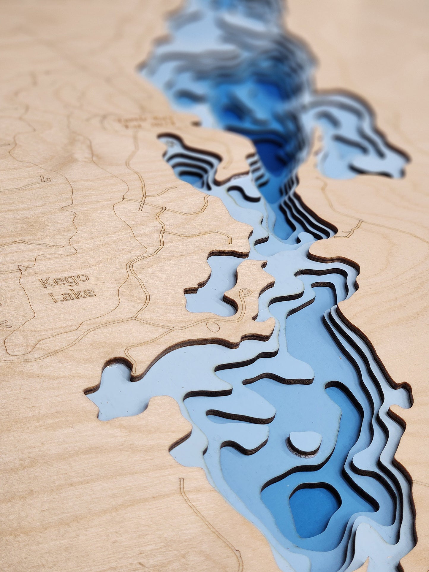
Burntside Lake, a breathtaking 7,313-acre natural lake, is a prominent and highly cherished natural feature located in St. Louis County, northeastern Minnesota. Situated just northwest of the city of Ely, this expansive lake boasts an impressive and intricate shoreline of 103.46 miles, dotted with over 100 islands. Plunging to a significant maximum depth of 126 feet, Burntside Lake is known for its exceptional water clarity and diverse aquatic habitat, making it a central hub for recreation and a vital part of the region's ecosystem.
As a premier destination in St. Louis County, Burntside Lake provides an ideal setting for a wide array of outdoor pursuits. Anglers are drawn to its productive waters for excellent fishing opportunities, with robust populations of Lake Trout, Walleye, Northern Pike, and Smallmouth Bass. The lake's vast surface is well-suited for diverse boating activities, from leisurely cruises and paddle sports to watersports. Its numerous public access points and its status as a gateway to the Boundary Waters Canoe Area Wilderness make Burntside Lake a quintessential northern Minnesota lake experience and a beloved choice for both residents and tourists.
Dimensions:
Small: 8"x12"
Medium: 12"x18"
Large: 16"x24"
Extra Large: 20"x30"
XX Large: 24"x36"
Gigantic 30"x45"
HD Extra Large: 20"x30" - 15 Layers
HD XX Large: 24"x36" - 15 Layers
HD Gigantic 30"x45" - 15 Layers
The difference between standard and HD maps is the number of layers. Standard maps have 1 land layer and 7 water layers. " The HD lake maps have 1 land layer and 14 water layers. So twice the detail. The HD Maps are limited to Extra Large, " XX Large, and Gigantic sizes only. On the smaller sizes the depth change of the wood is too extreme and you end up losing detail."