Pymatuning Reservoir
Pymatuning Reservoir
Couldn't load pickup availability
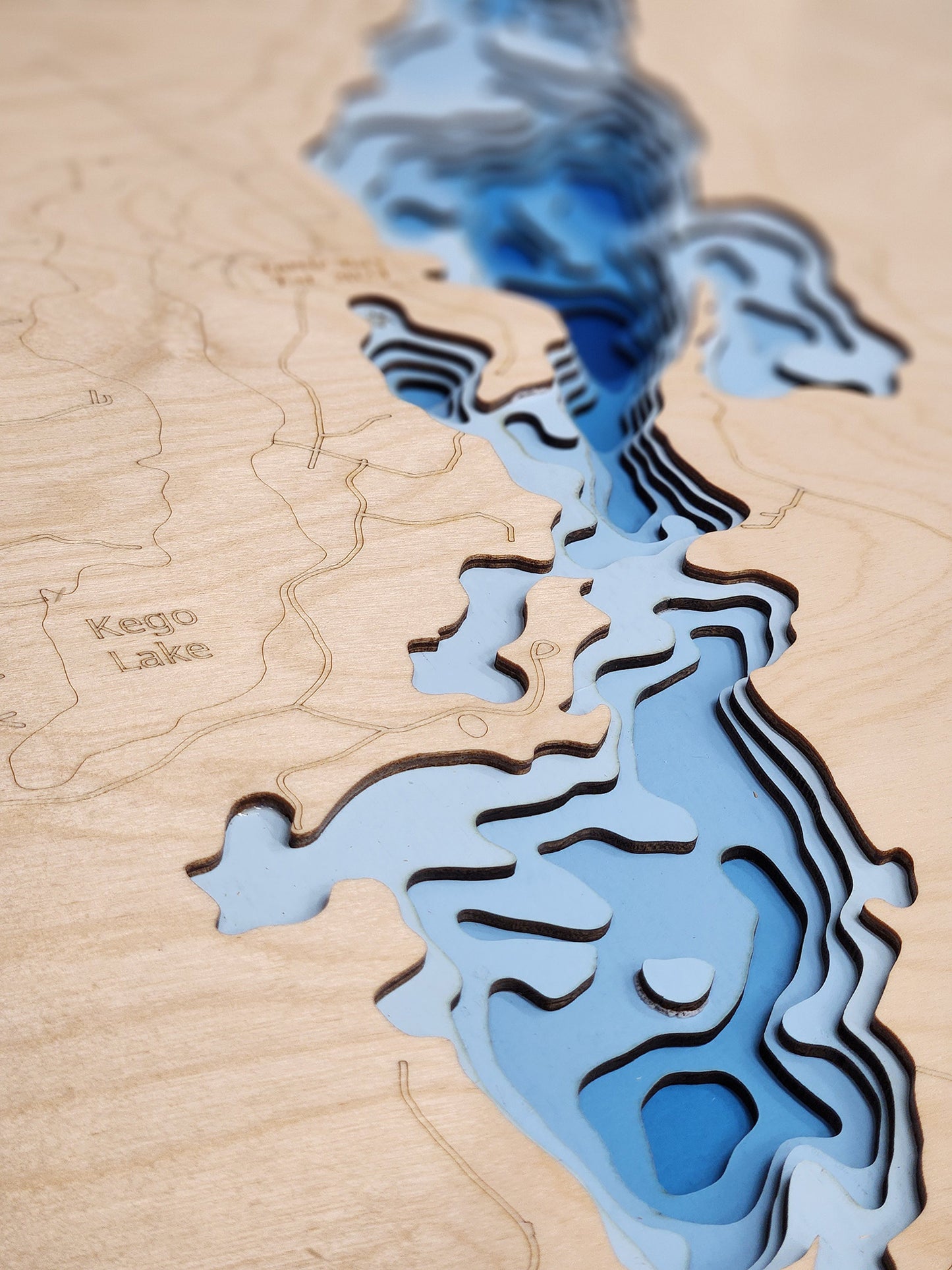
Pymatuning Reservoir in Crawford County, PA and Ashtabula County, OH
This map has 8 layers
Pymatuning Reservoir, located in Ashtabula County, Ohio, is a vast and popular destination that straddles the Ohio-Pennsylvania border. As the largest inland lake in Ohio at over 16,000 acres, it is a haven for fishing and boating. The reservoir's 20-horsepower motor limit ensures a calm, quiet environment, perfect for a peaceful day on the water. Anglers are drawn to its diverse fishery, which includes Walleye, Crappie, Largemouth Bass, and Bluegill. The expansive water and numerous bays provide abundant habitats for these fish, making it a productive and exciting spot for both recreational and serious fishermen. With 106.4 miles of scenic shoreline on the Ohio side, Pymatuning offers endless opportunities for exploration and relaxation.
Beyond the water, Pymatuning Reservoir is home to a variety of attractions within Pymatuning State Park. The famous Linesville Spillway is a must-see, where visitors can witness the unique spectacle of "the ducks walking on the fish." The Ohio side of the park provides multiple beaches, campgrounds, and picnic areas, making it an ideal destination for families. For those who enjoy terrestrial adventures, the Pymatuning Valley Greenway Bike Trail offers a scenic route through the beautiful Appalachian plateau. The lake’s unique history as a flood control project and its continued role as a major recreational hub make it a fascinating and beloved spot in Northeastern Ohio.
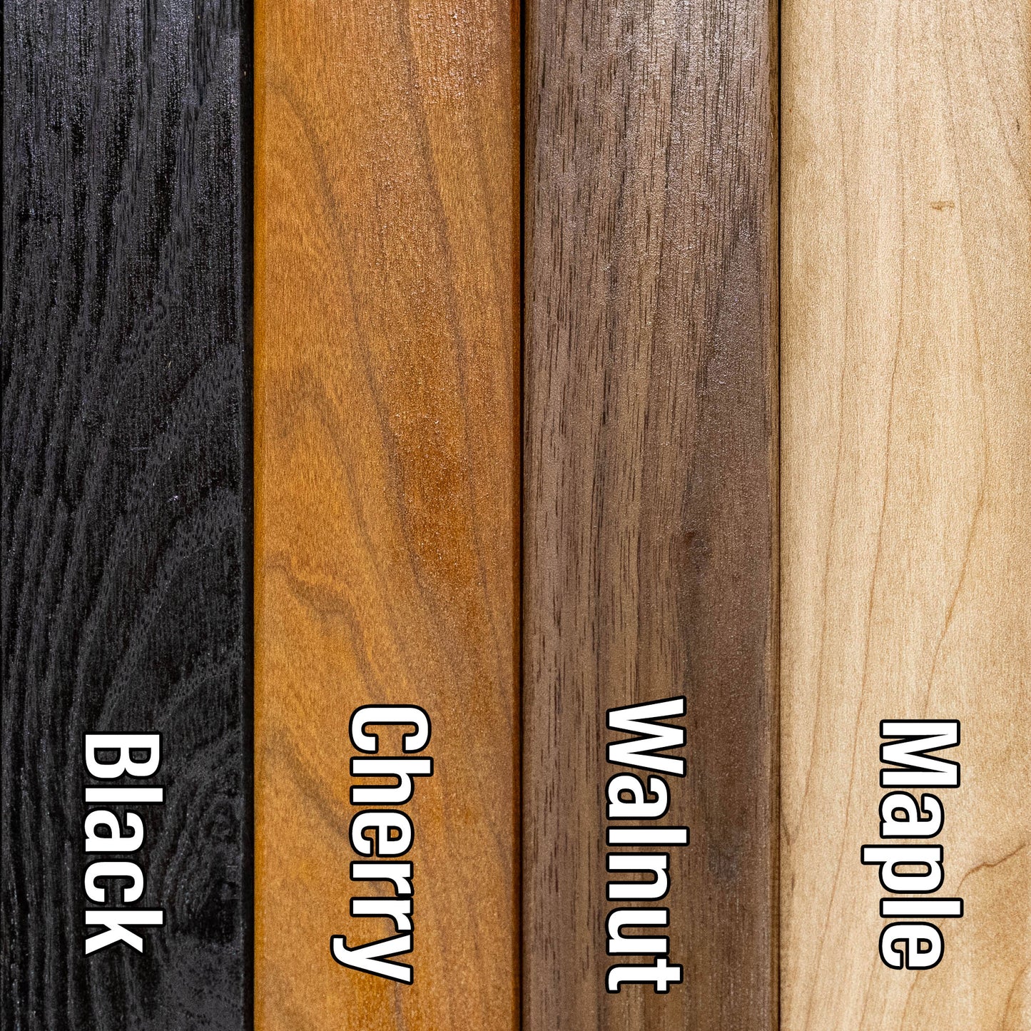
Dimensions:
Small: 8"x12"
Medium: 12"x18"
Large: 16"x24"
Extra Large: 20"x30"
XX Large: 24"x36"
Gigantic 30"x45"
HD Extra Large: 20"x30" - 15 Layers
HD XX Large: 24"x36" - 15 Layers
HD Gigantic 30"x45" - 15 Layers
The difference between standard and HD maps is the number of layers. Standard maps have 1 land layer and 7 water layers. " The HD lake maps have 1 land layer and 14 water layers. So twice the detail. The HD Maps are limited to Extra Large, " XX Large, and Gigantic sizes only. On the smaller sizes the depth change of the wood is too extreme and you end up losing detail."
Share