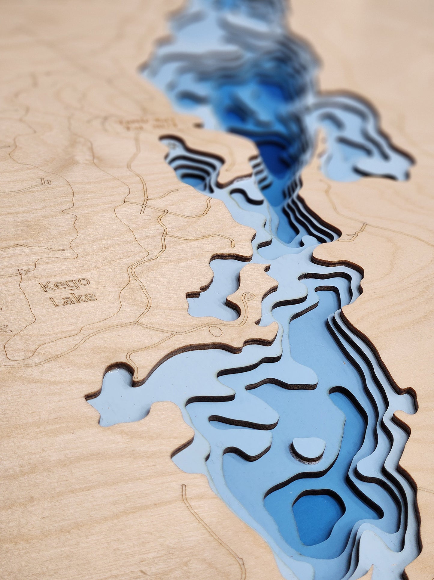
Rabbit Lake in Crow Wing County, MN
This map has 8 layers
Rabbit Lake, a unique and intriguing 1,169-acre lake, is a prominent natural feature located in Crow Wing County, central Minnesota. This picturesque Minnesota lake is comprised of two distinct basins connected by a channel, offering a dynamic environment for visitors. The eastern basin is particularly notable for its history as a former iron ore mine, which has since refilled, plunging to an extraordinary maximum depth of 337 feet. The western basin, in contrast, maintains the characteristics of a more traditional Minnesota lake, creating a fascinating contrast within a single body of water.
As a highly valued destination in Crow Wing County, Rabbit Lake provides an ideal setting for a variety of outdoor pursuits. Anglers are drawn to its productive waters for species such as Walleye, Northern Pike, Largemouth Bass, and various panfish, with the deep eastern basin offering a unique habitat for cold-water species. The lake's surface is well-suited for diverse boating activities, allowing visitors to explore the distinct characters of both basins. Its location within the famed Brainerd Lakes Area and its unique history make Rabbit Lake a cherished choice for those seeking an active and educational lake experience in central Minnesota.
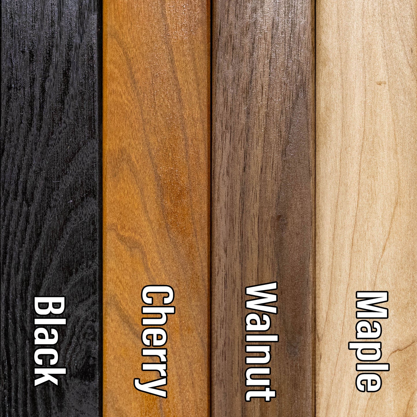
Dimensions:
Small: 8"x12"
Medium: 12"x18"
Large: 16"x24"
Extra Large: 20"x30"
XX Large: 24"x36"
Gigantic 30"x45"
HD Extra Large: 20"x30" - 15 Layers
HD XX Large: 24"x36" - 15 Layers
HD Gigantic 30"x45" - 15 Layers
The difference between standard and HD maps is the number of layers. Standard maps have 1 land layer and 7 water layers. " The HD lake maps have 1 land layer and 14 water layers. So twice the detail. The HD Maps are limited to Extra Large, " XX Large, and Gigantic sizes only. On the smaller sizes the depth change of the wood is too extreme and you end up losing detail."