Candlewood (Fairfield, Litchfield)
Candlewood (Fairfield, Litchfield)
Couldn't load pickup availability
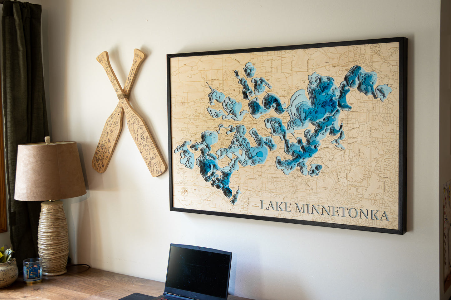
3D Wooden Lake Map of Candlewood Lake in Fairfield and Litchfield Counties, Connecticut
This map has 8 layers
Candlewood Lake, located in western Connecticut, is the state’s largest lake and a popular destination for outdoor recreation. With its clear, blue waters, the lake is ideal for boating, fishing, and swimming. Anglers enjoy casting their lines for bass, trout, and pickerel, while boaters take advantage of the spacious waters for cruising and water skiing. The scenic shoreline, dotted with marinas, parks, and residential properties, offers plenty of opportunities for relaxation and waterfront dining.
The surrounding area, including the towns of Danbury and New Milford, provides additional activities such as hiking, picnicking, and wildlife watching. The lake is a favored spot for family gatherings and weekend getaways, offering a peaceful retreat just a short distance from New York City. Whether you’re exploring the lake by boat or enjoying the tranquility of its shore, Candlewood Lake is a prime destination for both recreation and relaxation.
Dimensions:
Small: 8"x12"
Medium: 12"x18"
Large: 16"x24"
Extra Large: 20"x30"
XX Large: 24"x36"
Gigantic 30"x45"
HD Extra Large: 20"x30" - 15 Layers
HD XX Large: 24"x36" - 15 Layers
HD Gigantic 30"x45" - 15 Layers
The difference between standard and HD maps is the number of layers. Standard maps have 1 land layer and 7 water layers. " The HD lake maps have 1 land layer and 14 water layers. So twice the detail. The HD Maps are limited to Extra Large, " XX Large, and Gigantic sizes only. On the smaller sizes the depth change of the wood is too extreme and you end up losing detail."
Share


