Carlyle (Clinton, Fayette, Bond)
Carlyle (Clinton, Fayette, Bond)
Couldn't load pickup availability
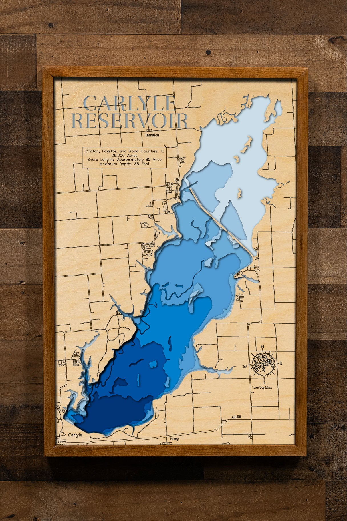
Carlyle Lake in Clinton, Fayette, and Bond Counties, IL
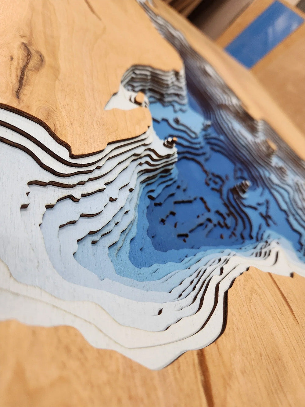
This lake has 8 Layers or 15 Layers for HD Version
Carlyle Lake, the largest man-made lake in Illinois, spans 26,000 acres across Clinton, Fayette, and Bond Counties. Constructed in 1967 by damming the Kaskaskia River, this reservoir serves multiple purposes, including flood control, water supply, and recreation. Its expansive waters and 85-mile shoreline offer ample opportunities for boating, sailing, and fishing. Anglers are particularly drawn to Carlyle Lake for its abundant populations of channel catfish, crappie, white bass, and largemouth bass.
Beyond its aquatic attractions, Carlyle Lake is surrounded by various recreational areas such as Eldon Hazlet State Park and the Carlyle Lake Wildlife Management Area. These sites provide facilities for camping, hiking, and wildlife observation, making the lake a popular destination for outdoor enthusiasts. Its proximity to St. Louis, approximately 50 miles to the west, adds to its accessibility for both locals and visitors seeking a natural retreat.
Dimensions:
Small: 8"x12"
Medium: 12"x18"
Large: 16"x24"
Extra Large: 20"x30"
XX Large: 24"x36"
Gigantic 30"x45"
HD Extra Large: 20"x30" - 15 Layers
HD XX Large: 24"x36" - 15 Layers
HD Gigantic 30"x45" - 15 Layers
The difference between standard and HD maps is the number of layers. Standard maps have 1 land layer and 7 water layers. " The HD lake maps have 1 land layer and 14 water layers. So twice the detail. The HD Maps are limited to Extra Large, " XX Large, and Gigantic sizes only. On the smaller sizes the depth change of the wood is too extreme and you end up losing detail."
Share


