Dale Hollow (Clay, Pickett, Overton, Fentress, Cumberland, Clinton)
Dale Hollow (Clay, Pickett, Overton, Fentress, Cumberland, Clinton)
Couldn't load pickup availability
Dale Hollow Lake in Tennessee and Kentucky
Dale Hollow Lake, straddling the border between Tennessee and Kentucky, is a sprawling reservoir renowned for its clear waters and picturesque surroundings. Encompassing 27,700 acres across multiple counties, the lake offers an extensive 620-mile shoreline that caters to a variety of recreational activities. Boating enthusiasts appreciate the numerous marinas and boat ramps, while anglers are drawn to the lake's reputation as a prime spot for smallmouth bass fishing. The lake's depth and clarity also make it a favored destination for scuba diving, with divers exploring submerged structures and the lake's underwater topography.
Beyond water-based activities, the area surrounding Dale Hollow Lake provides ample opportunities for camping, hiking, and wildlife observation. The lake's creation by the U.S. Army Corps of Engineers has led to the development of well-maintained recreational facilities, including campgrounds and picnic areas. Whether you're seeking adventure on the water or a peaceful retreat in nature, Dale Hollow Lake offers a diverse array of experiences for visitors.
Dimensions:
Small: 8"x12"
Medium: 12"x18"
Large: 16"x24"
Extra Large: 20"x30"
XX Large: 24"x36"
Gigantic 30"x45"
HD Extra Large: 20"x30" - 15 Layers
HD XX Large: 24"x36" - 15 Layers
HD Gigantic 30"x45" - 15 Layers
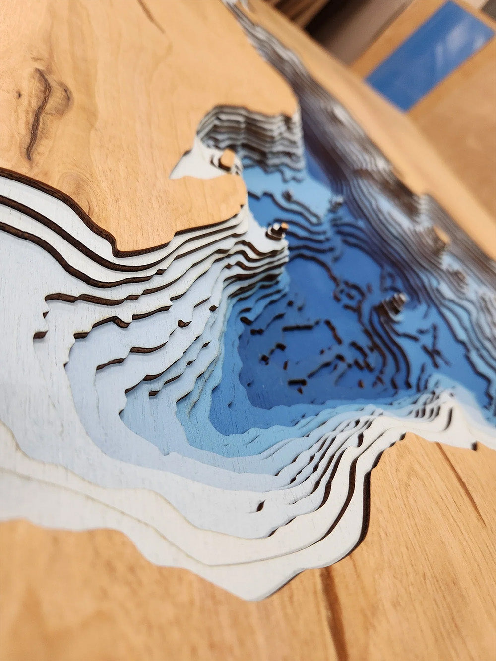
The difference between standard and HD maps is the number of layers. Standard maps have 1 land layer and 7 water layers. " The HD lake maps have 1 land layer and 14 water layers. So twice the detail. The HD Maps are limited to Extra Large, " XX Large, and Gigantic sizes only. On the smaller sizes the depth change of the wood is too extreme and you end up losing detail."
Share


