Grenada (Grenada & Yalobusha)
Grenada (Grenada & Yalobusha)
Couldn't load pickup availability
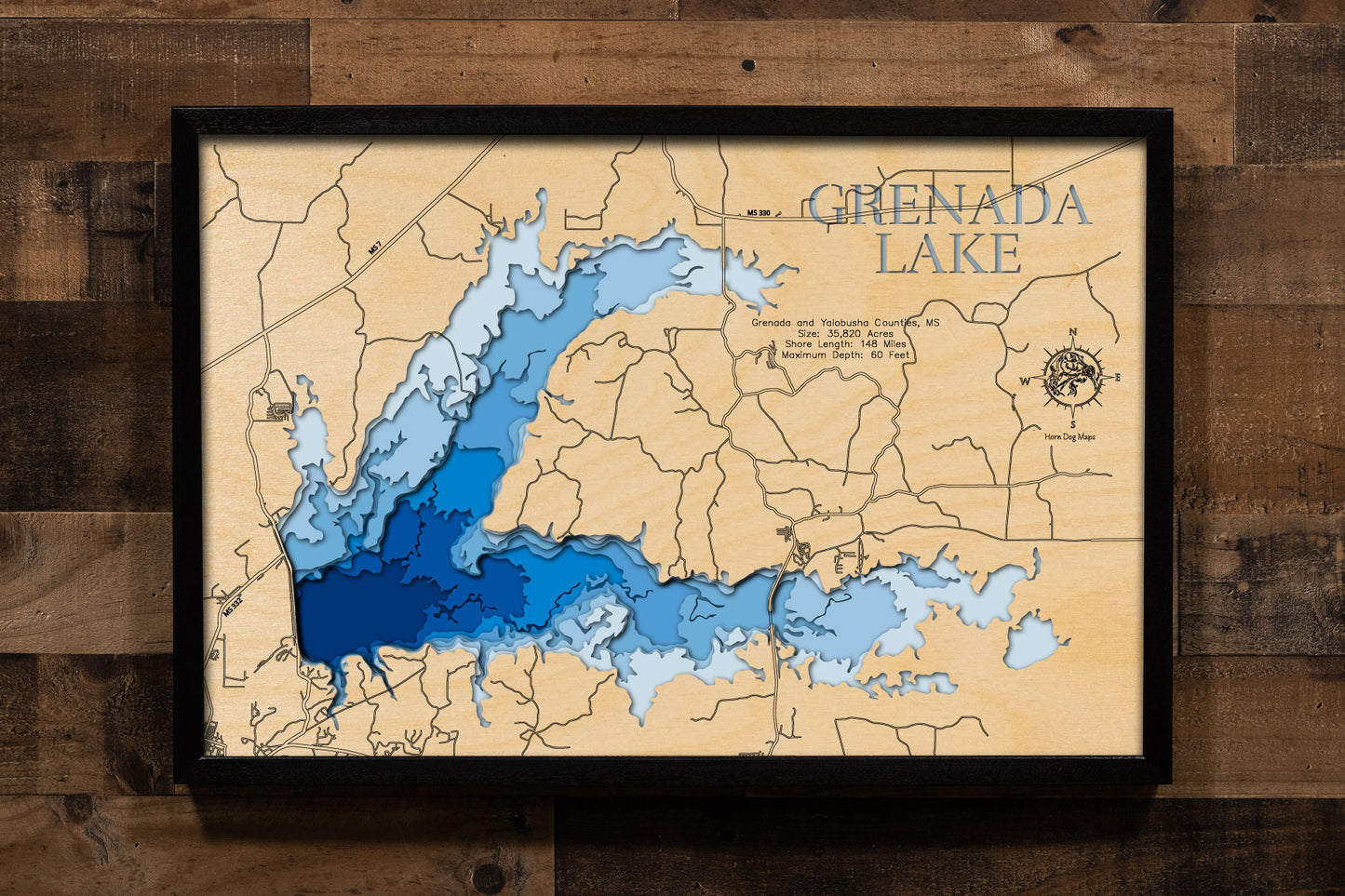
Grenada Lake in Grenada and Yalobusha Counties, Mississippi
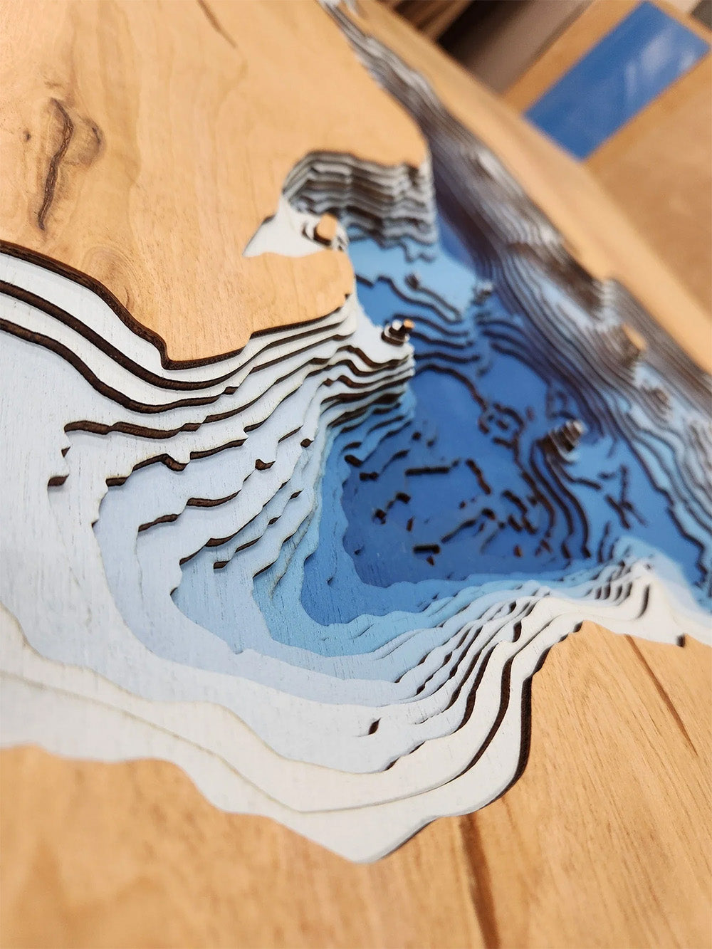
This lake has 8 Layers or 15 Layers for HD Version
Grenada Lake, situated on the Yalobusha River in north-central Mississippi, spans across Grenada and Yalobusha Counties, encompassing a significant 35,820 acres during its summer pool. With a substantial 148 miles of shoreline, this reservoir, one of the four flood control lakes in North Mississippi, offers a wide array of recreational opportunities. Anglers recognize Grenada Lake as a premier destination for crappie fishing, often touted as one of the best in the nation, and it also supports healthy populations of bass, catfish, and bream. Boating, sailing, and watersports are popular activities on its expansive waters, with numerous access points facilitating enjoyment for all.
The region surrounding Grenada Lake provides abundant opportunities for outdoor enthusiasts beyond fishing and boating. The U.S. Army Corps of Engineers manages the lake and its surrounding lands, offering facilities for camping, hiking, picnicking, and hunting. Wildlife abounds in the area, making it ideal for birdwatching and nature observation. Notably, Grenada Lake hosts several fishing tournaments annually, further solidifying its reputation as a top angling destination. Additionally, the nearby Hugh White State Park offers amenities such as a golf course and nature trails, enhancing the area's appeal for both tourists and local residents seeking outdoor adventure and relaxation.
Dimensions:
Small: 8"x12"
Medium: 12"x18"
Large: 16"x24"
Extra Large: 20"x30"
XX Large: 24"x36"
Gigantic 30"x45"
HD Extra Large: 20"x30" - 15 Layers
HD XX Large: 24"x36" - 15 Layers
HD Gigantic 30"x45" - 15 Layers
The difference between standard and HD maps is the number of layers. Standard maps have 1 land layer and 7 water layers. " The HD lake maps have 1 land layer and 14 water layers. So twice the detail. The HD Maps are limited to Extra Large, " XX Large, and Gigantic sizes only. On the smaller sizes the depth change of the wood is too extreme and you end up losing detail."
Share


