Harlan (Harlan, Phillips)
Harlan (Harlan, Phillips)
Couldn't load pickup availability
Harlan County Lake in Harlan County, Nebraska and Phillips County, Kansas
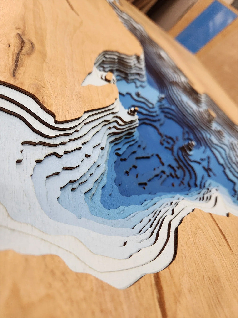
This lake has 8 Layers or 15 Layers for HD Version
Harlan County Lake, a significant 13,250-acre reservoir, is located in south-central Nebraska, with its southernmost reaches extending into northern Phillips County, Kansas. Formed by the damming of the Republican River, this large lake boasts approximately 75 miles of shoreline, offering a diverse landscape and numerous recreational opportunities. Anglers are drawn to Harlan County Lake for its excellent fishing, with popular species including walleye, white bass, wipers (hybrid striped bass), catfish, crappie, and northern pike. Both shore fishing and boating are popular, with multiple boat ramps providing access to the water. Fishing tournaments are held throughout the summer, attracting anglers from the region. Ice fishing is also a popular winter activity.
Beyond fishing, Harlan County Lake and the surrounding 17,750 acres managed by the U.S. Army Corps of Engineers provide ample space for outdoor enthusiasts. Visitors can enjoy seven established campgrounds with over 500 camping pads, as well as primitive camping areas. The lake is a haven for water sports, including boating, water skiing, and tubing below the dam. The area also offers opportunities for hunting various game species, hiking on several trails, horseback riding on designated trails, and wildlife viewing, with many migratory birds and bald eagles frequenting the area. With its extensive recreational amenities and natural beauty, Harlan County Lake is a valuable destination for those seeking outdoor adventures in Nebraska and Kansas.
Dimensions:
Small: 8"x12"
Medium: 12"x18"
Large: 16"x24"
Extra Large: 20"x30"
XX Large: 24"x36"
Gigantic 30"x45"
HD Extra Large: 20"x30" - 15 Layers
HD XX Large: 24"x36" - 15 Layers
HD Gigantic 30"x45" - 15 Layers
The difference between standard and HD maps is the number of layers. Standard maps have 1 land layer and 7 water layers. " The HD lake maps have 1 land layer and 14 water layers. So twice the detail. The HD Maps are limited to Extra Large, " XX Large, and Gigantic sizes only. On the smaller sizes the depth change of the wood is too extreme and you end up losing detail."
Share


