Klinger (Saint Joseph)
Klinger (Saint Joseph)
Couldn't load pickup availability
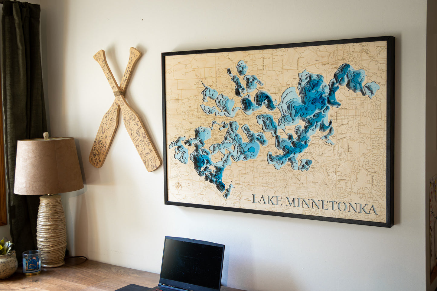
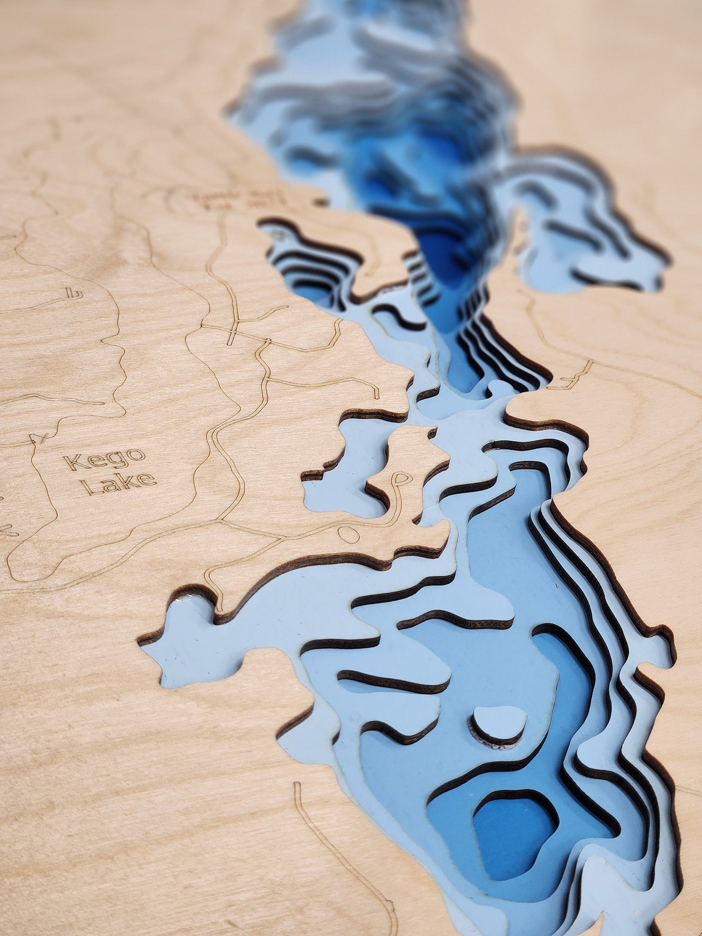
3d Lake Map of Klinger Lake in Saint Joseph County, MI
This map has 8 layers
3d Lake Map of Klinger Lake in Saint Joseph County, MI boasts a unique blend of recreational opportunities and natural charm. It’s a favorite destination for fishing, boating, and lakeside picnics.
From fishing and kayaking to serene hikes along its shores, 3d Lake Map of Klinger Lake in Saint Joseph County, MI offers endless opportunities for enjoyment. This detailed 3D lake map brings the essence of the lake into your home as decor and art, making it perfect for your cabin or living space.
Dimensions:
Small: 8"x12"
Medium: 12"x18"
Large: 16"x24"
Extra Large: 20"x30"
XX Large: 24"x36"
Gigantic 30"x45"
HD Extra Large: 20"x30" - 15 Layers
HD XX Large: 24"x36" - 15 Layers
HD Gigantic 30"x45" - 15 Layers
The difference between standard and HD maps is the number of layers. Standard maps have 1 land layer and 7 water layers. " The HD lake maps have 1 land layer and 14 water layers. So twice the detail. The HD Maps are limited to Extra Large, " XX Large, and Gigantic sizes only. On the smaller sizes the depth change of the wood is too extreme and you end up losing detail."
Share


