Lahontan (Churchill, Lyon)
Lahontan (Churchill, Lyon)
Couldn't load pickup availability
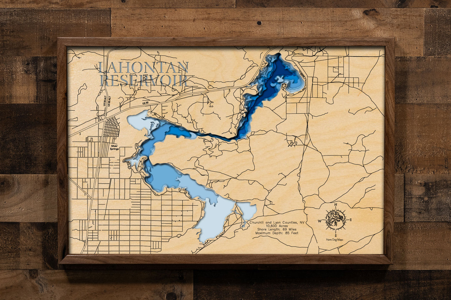
Lahontan Reservoir in Churchill and Lyon Counties, Nevada
This lake has 8 Layers or 15 Layers for HD Version
Lahontan Reservoir, formed by the Lahontan Dam on the Carson River in northwestern Nevada, spans across Churchill and Lyon Counties. This significant reservoir covers 10,600 acres and has a shoreline of 69 miles. It is a popular destination for a variety of recreational activities, including boating, camping, and fishing. Anglers can find several warm-water fish species such as white bass, walleye, white crappie, catfish, and both brown and rainbow trout. The reservoir is part of the Lahontan State Recreation Area, offering sandy beaches and opportunities for camping along its shores.
The area surrounding Lahontan Reservoir provides a diverse landscape with willows and cottonwoods lining the shoreline. Visitors can enjoy various water sports and explore the natural beauty of the high desert environment. The reservoir's water levels can fluctuate, impacting the shoreline and access points. Despite this, Lahontan Reservoir remains a key recreational area in Nevada, drawing visitors for its fishing and outdoor activities throughout the year.
Dimensions:
Small: 8"x12"
Medium: 12"x18"
Large: 16"x24"
Extra Large: 20"x30"
XX Large: 24"x36"
Gigantic 30"x45"
HD Extra Large: 20"x30" - 15 Layers
HD XX Large: 24"x36" - 15 Layers
HD Gigantic 30"x45" - 15 Layers
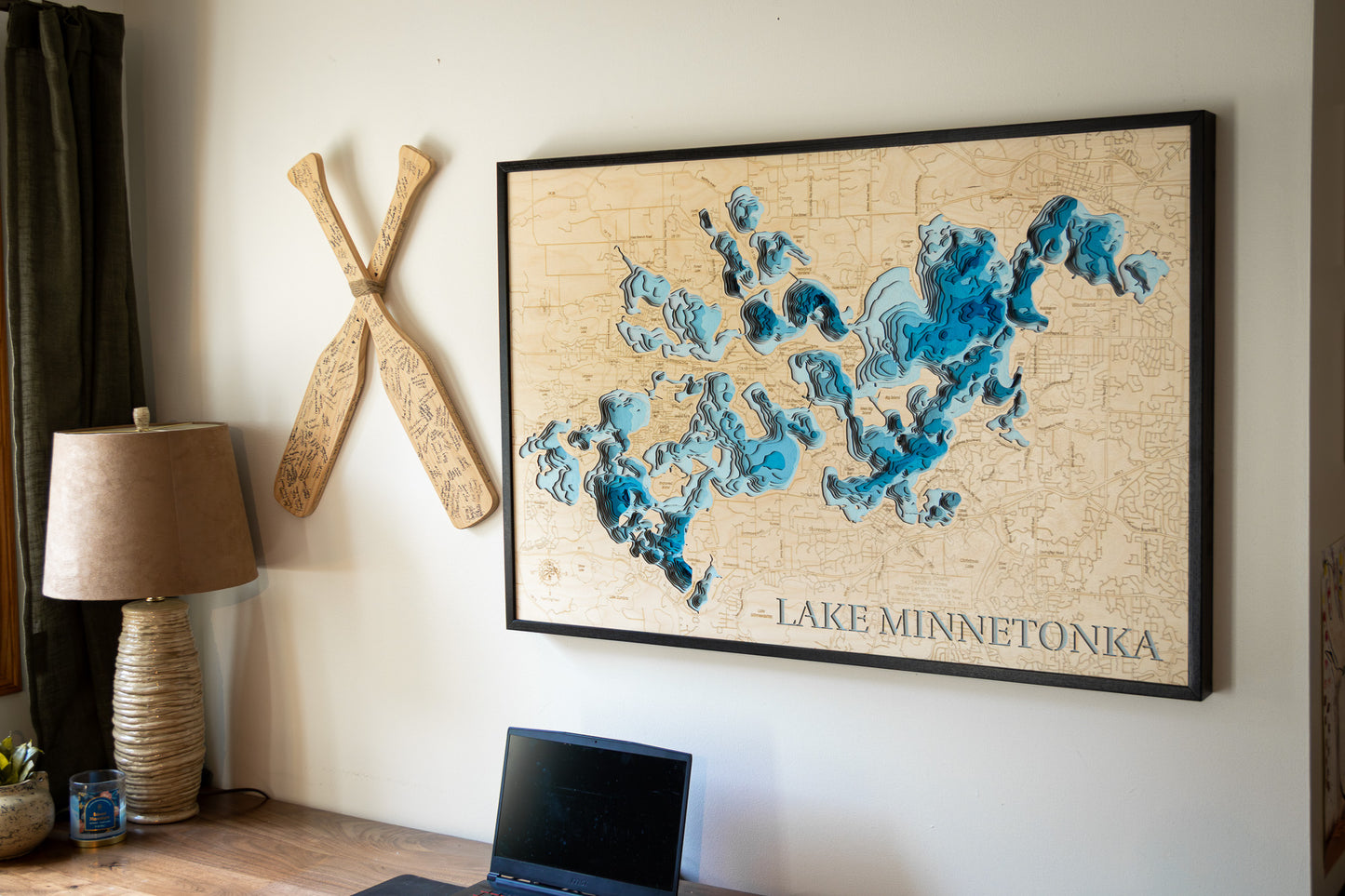
The difference between standard and HD maps is the number of layers. Standard maps have 1 land layer and 7 water layers. " The HD lake maps have 1 land layer and 14 water layers. So twice the detail. The HD Maps are limited to Extra Large, " XX Large, and Gigantic sizes only. On the smaller sizes the depth change of the wood is too extreme and you end up losing detail."
Share


