Monroe (Monroe, Brown)
Monroe (Monroe, Brown)
Couldn't load pickup availability
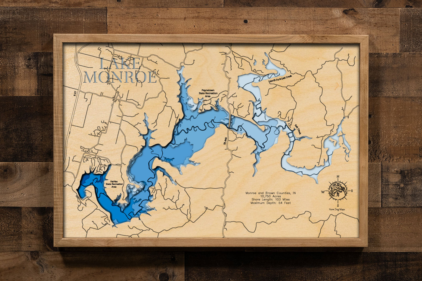
Lake Monroe in Monroe and Brown County, IN![]()
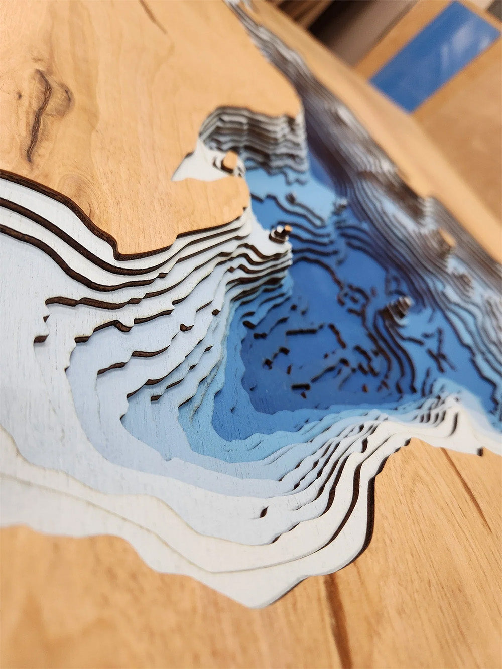
This lake has 8 Layers or 15 Layers for HD Version
Lake Monroe, also known as Monroe Reservoir, is Indiana's largest lake, spanning 10,750 acres across Monroe and Brown Counties. Constructed between 1960 and 1965 by the U.S. Army Corps of Engineers, the lake serves multiple purposes, including flood control, water supply, and recreation. Its shoreline extends 103 miles, offering ample space for boating, fishing, and swimming. Anglers can find species such as bluegill, largemouth bass, and crappie in its waters. The lake is also a vital water source for Bloomington and surrounding communities.
Surrounded by protected lands like the Charles C. Deam Wilderness Area and several state recreation areas, Lake Monroe provides numerous opportunities for hiking, camping, and wildlife observation. Its proximity to Bloomington makes it a convenient destination for both residents and visitors seeking outdoor activities in a scenic environment.
Dimensions:
Small: 8"x12"
Medium: 12"x18"
Large: 16"x24"
Extra Large: 20"x30"
XX Large: 24"x36"
Gigantic 30"x45"
HD Extra Large: 20"x30" - 15 Layers
HD XX Large: 24"x36" - 15 Layers
HD Gigantic 30"x45" - 15 Layers
The difference between standard and HD maps is the number of layers. Standard maps have 1 land layer and 7 water layers. " The HD lake maps have 1 land layer and 14 water layers. So twice the detail. The HD Maps are limited to Extra Large, " XX Large, and Gigantic sizes only. On the smaller sizes the depth change of the wood is too extreme and you end up losing detail."
Share
