Thunder (Cass)
Thunder (Cass)
Couldn't load pickup availability
Thunder Lake in Cass County, Minnesota
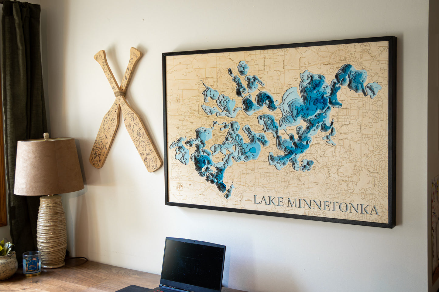
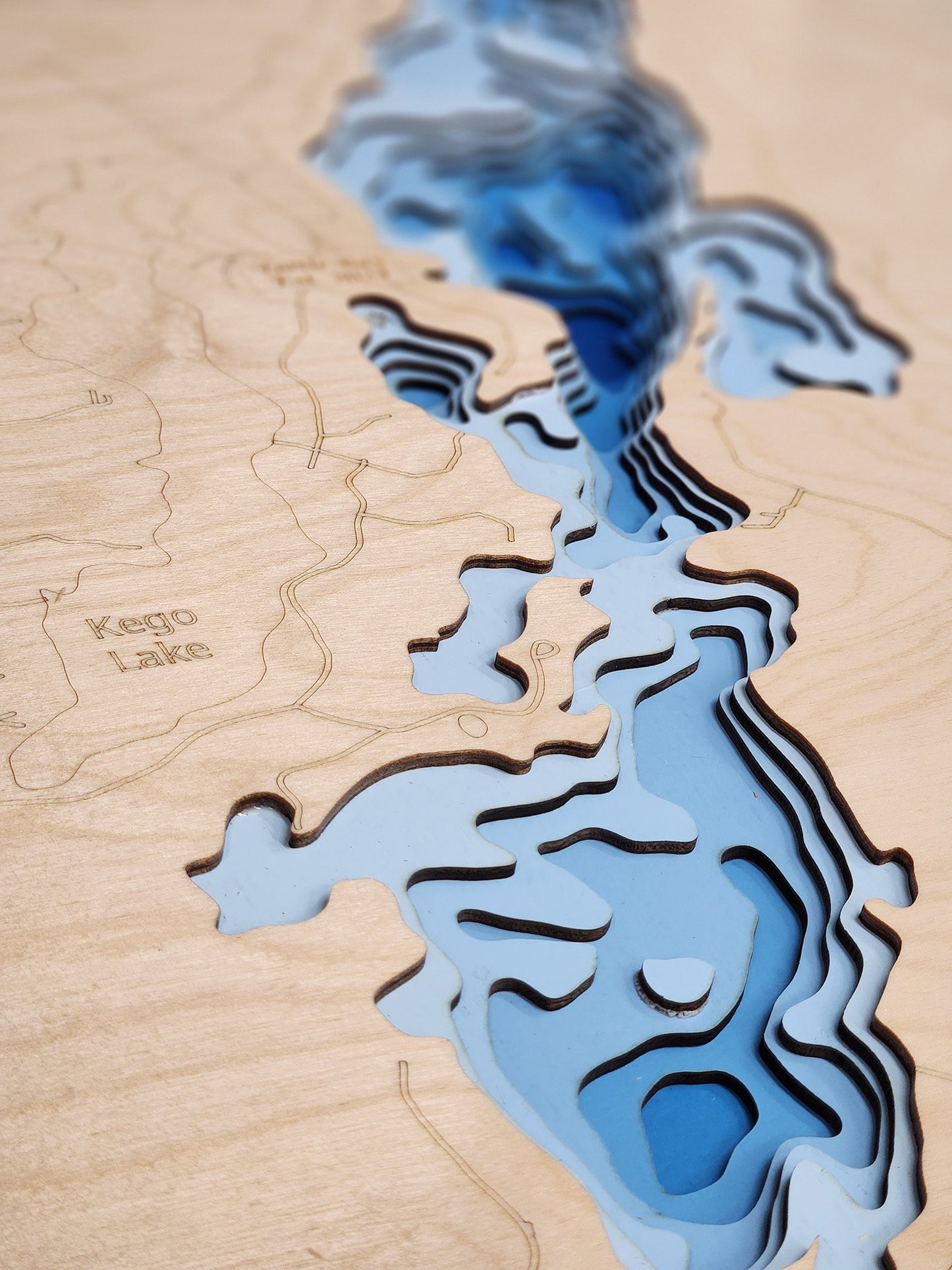
This map has 8 layers
Thunder Lake, a substantial 1,346.88-acre lake, is a prominent natural feature located seven miles south of Remer in Cass County, northern Minnesota. This expansive Minnesota lake boasts an impressive shoreline of 15.9 miles, characterized by its rapidly dropping depths near shore. Reaching a considerable maximum depth of 95 feet, Thunder Lake is known for its excellent water clarity and diverse underwater structure, supporting a rich aquatic ecosystem that draws visitors to the heart of Minnesota's Northwoods.
As a highly valued destination in Cass County, Thunder Lake provides an ideal setting for a wide array of outdoor pursuits. Anglers are drawn to its productive waters for excellent fishing opportunities, with populations of Walleye, Northern Pike, Largemouth Bass, and various panfish. The lake's vast surface is well-suited for diverse boating activities, from leisurely cruises to watersports, allowing visitors to fully immerse themselves in the surrounding natural beauty. Its location amidst thousands of acres of national, state, and county forest land, combined with lakeside amenities, makes Thunder Lake a cherished choice for those seeking a classic Northwoods escape and an active lake experience.
Dimensions:
Small: 8"x12"
Medium: 12"x18"
Large: 16"x24"
Extra Large: 20"x30"
XX Large: 24"x36"
Gigantic 30"x45"
HD Extra Large: 20"x30" - 15 Layers
HD XX Large: 24"x36" - 15 Layers
HD Gigantic 30"x45" - 15 Layers
The difference between standard and HD maps is the number of layers. Standard maps have 1 land layer and 7 water layers. " The HD lake maps have 1 land layer and 14 water layers. So twice the detail. The HD Maps are limited to Extra Large, " XX Large, and Gigantic sizes only. On the smaller sizes the depth change of the wood is too extreme and you end up losing detail."
Share


