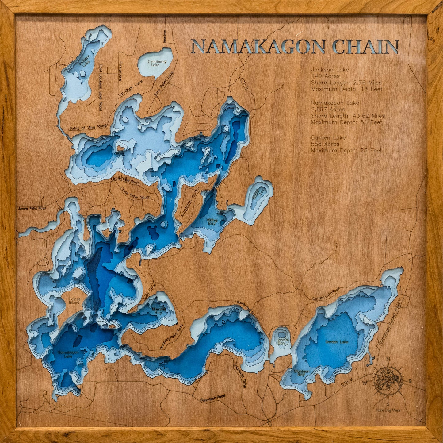
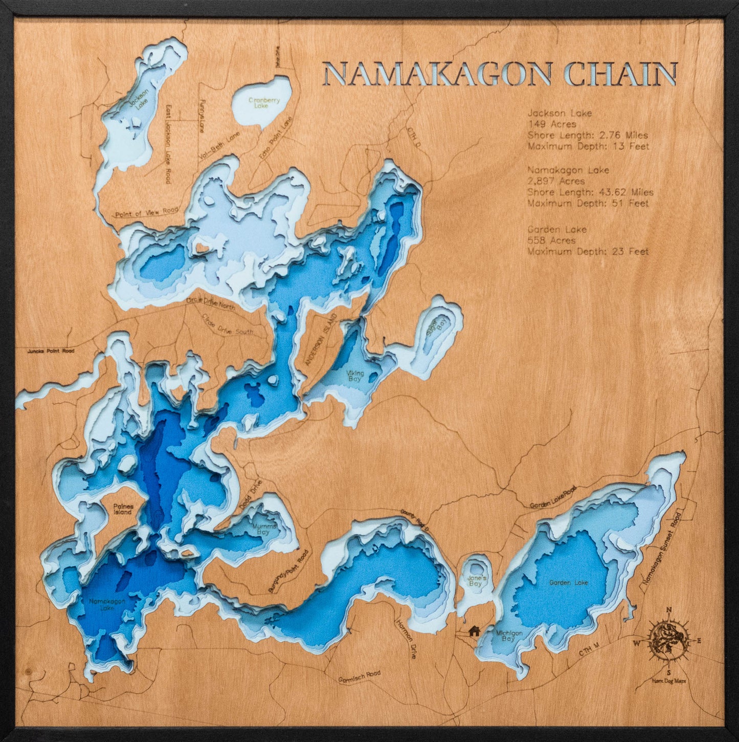
Namakagon Chain of Lakes (Bayfield)
Namakagon Chain of Lakes (Bayfield)
Couldn't load pickup availability
Namakagon Chain of Lakes Lake in Bayfield County, WI
This lake has 8 Layers or 15 Layers for HD Version
Namakagon Chain of Lakes in Bayfield County, WI, is a favorite spot for adventurers and nature enthusiasts. Its serene waters are perfect for paddleboarding, swimming, and family outings. Surrounding forests add a sense of tranquility to this beloved destination.
A custom 3D map of Namakagon Chain of Lakes is not just decor, it's a way to preserve cherished memories. These maps are perfect for cabins, offices, or as thoughtful gifts for loved ones who adore the lake.
Dimensions:
Small: 8"x12"
Medium: 12"x18"
Large: 16"x24"
Extra Large: 20"x30"
XX Large: 24"x36"
Gigantic 30"x45"
HD Extra Large: 20"x30" - 15 Layers
HD XX Large: 24"x36" - 15 Layers
HD Gigantic 30"x45" - 15 Layers
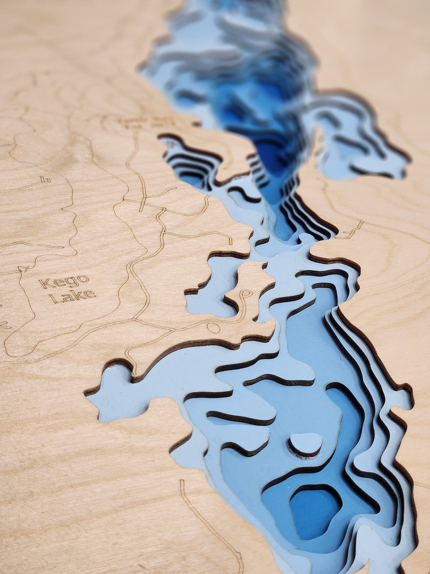
The difference between standard and HD maps is the number of layers. Standard maps have 1 land layer and 7 water layers. The HD lake maps have 1 land layer and 14 water layers. So twice the detail. The HD Maps are limited to Extra Large, XX Large, and Gigantic sizes only. On the smaller sizes the depth change of the wood is too extreme and you end up losing detail.
Share


