Quabbin Reservoir (Hampshire, Franklin, Worcester)
Quabbin Reservoir (Hampshire, Franklin, Worcester)
Couldn't load pickup availability
Quabbin Reservoir in Hampshire, Franklin, and Worcester Counties, Massachusetts
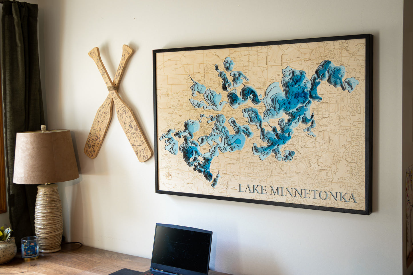
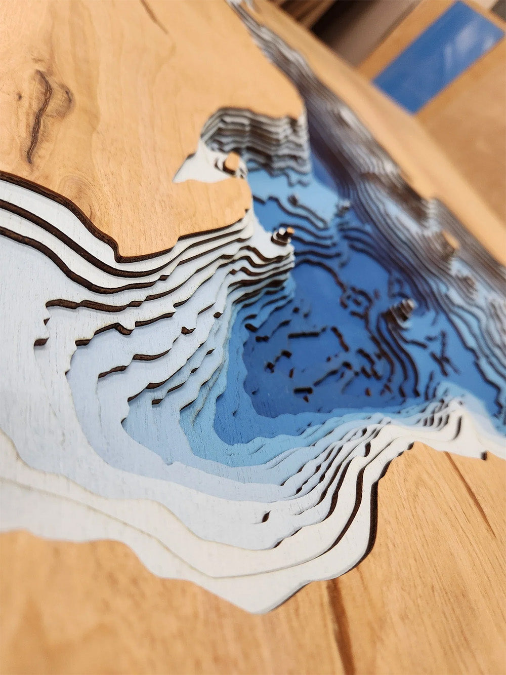
This lake has 8 Layers or 15 Layers for HD Version
The Quabbin Reservoir, the largest inland body of water in Massachusetts, is a vital resource and a stunning natural landscape spanning across Hampshire, Franklin, and Worcester Counties. Encompassing a vast 38.6 square miles, this massive reservoir was created between 1930 and 1939 and serves as the primary water supply for Boston and numerous other communities, holding an impressive 412 billion gallons of water. Its expansive 181 miles of shoreline, which includes numerous islands, creates a diverse ecosystem and captivating scenery. While swimming is prohibited to protect water quality, the reservoir and its surrounding 81,000 acres of watershed offer a wealth of recreational opportunities for outdoor lovers, including hiking on extensive trails, biking on designated paved roads, and wildlife viewing, with chances to spot deer, loons, and even bald eagles.
Anglers will find the Quabbin Reservoir a premier destination, renowned for its cold-water fisheries including lake trout, brown trout, rainbow trout, and landlocked salmon, as well as warm-water species like bass and pickerel. Both shore fishing and boat fishing (rentals available; private boats require a Quabbin Boat Seal) are permitted during the open season, which typically runs from the third Saturday in April to the third Saturday in October. The reservoir's significant depth of 151 feet supports a diverse aquatic environment. Beyond the water, the area's history is notable, as the creation of the Quabbin necessitated the disincorporation and flooding of four towns, adding a layer of historical significance to this remarkable natural and engineered landmark.
Dimensions:
Small: 8"x12"
Medium: 12"x18"
Large: 16"x24"
Extra Large: 20"x30"
XX Large: 24"x36"
Gigantic 30"x45"
HD Extra Large: 20"x30" - 15 Layers
HD XX Large: 24"x36" - 15 Layers
HD Gigantic 30"x45" - 15 Layers
The difference between standard and HD maps is the number of layers. Standard maps have 1 land layer and 7 water layers. " The HD lake maps have 1 land layer and 14 water layers. So twice the detail. The HD Maps are limited to Extra Large, " XX Large, and Gigantic sizes only. On the smaller sizes the depth change of the wood is too extreme and you end up losing detail."
Share


