Vermilion (St. Louis)
Vermilion (St. Louis)
Couldn't load pickup availability
Lake Vermilion in St. Louis County, MN
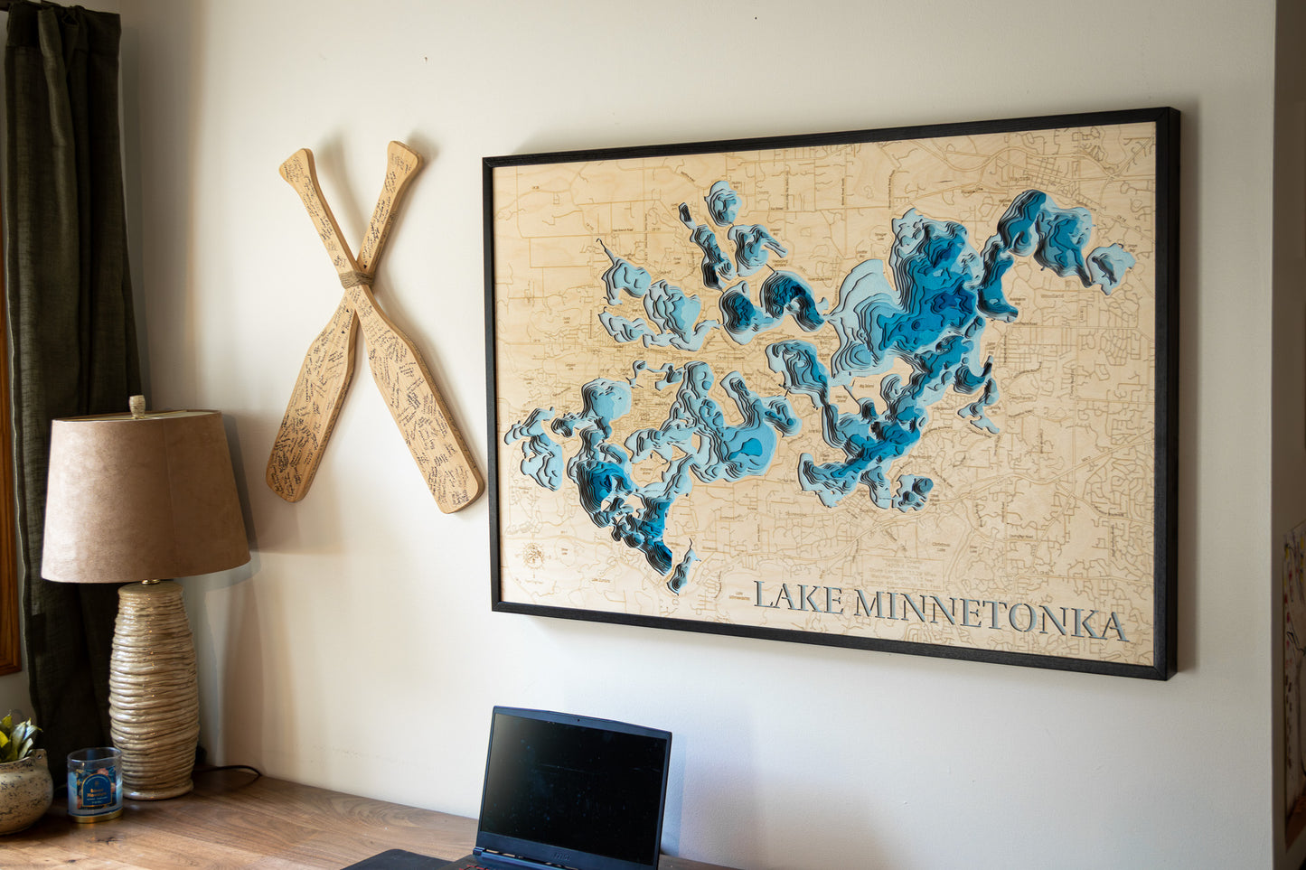
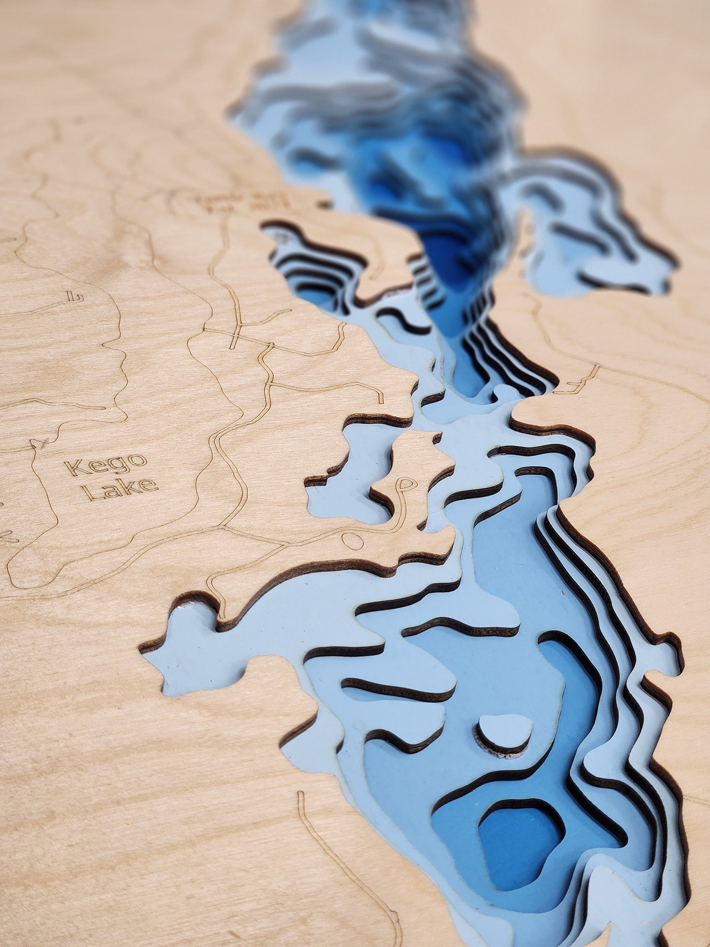
This map has 8 layers
Lake Vermilion in northeastern Minnesota is renowned for its breathtaking natural beauty, particularly its 365 islands—one for each day of the year. This stunning feature gives the lake a unique and iconic charm, as visitors can explore the islands, enjoy serene boating trips, or simply appreciate the picturesque views. The lake's clear waters, surrounded by dense forests and rugged shorelines, offer ideal conditions for fishing, with a wide variety of species, including walleye, muskie, and bass, drawing anglers year-round.
Beyond water sports, Lake Vermilion is a popular destination for hiking, camping, and wildlife watching, with nearby parks such as Lake Vermilion-Soudan Underground Mine State Park providing access to scenic trails and historical sites. Whether you're seeking adventure on the water, relaxation by the shore, or exploring the islands, Lake Vermilion provides a year-round haven for outdoor enthusiasts and nature lovers alike.
Dimensions:
Small: 8"x12"
Medium: 12"x18"
Large: 16"x24"
Extra Large: 20"x30"
XX Large: 24"x36"
Gigantic 30"x45"
HD Extra Large: 20"x30" - 15 Layers
HD XX Large: 24"x36" - 15 Layers
HD Gigantic 30"x45" - 15 Layers
The difference between standard and HD maps is the number of layers. Standard maps have 1 land layer and 7 water layers. " The HD lake maps have 1 land layer and 14 water layers. So twice the detail. The HD Maps are limited to Extra Large, " XX Large, and Gigantic sizes only. On the smaller sizes the depth change of the wood is too extreme and you end up losing detail."
Share


